
Monthly Archives: August 2015
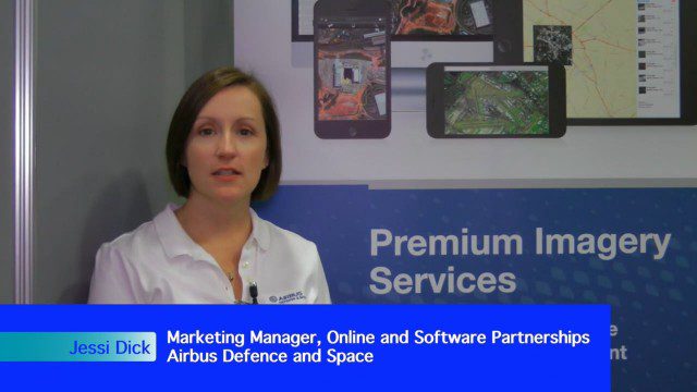
Airbus Defense and Space Dealing with Big Data Management and Delivery Issues
0 Views0 Comments0 Likes
The V1 Video team interviewed Jessi Dick, Senior Marketing Manager of Online and Software Partnerships at Airbus Defence and Space, at the 2015 Esri User Conference in San Diego. We spoke about the growing volumes of data and the company’s tools managing data via portals, systems, streaming services and custom solutions.
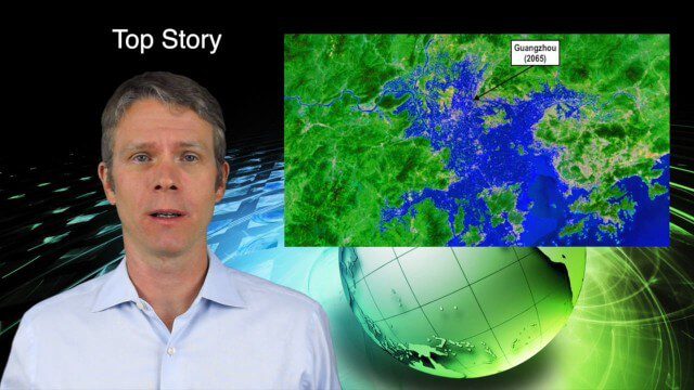
8_27 Asia-Pacific Broadcast (Rising Seas, Pollution, Drones and More)
0 Views0 Comments0 Likes
This Asia-Pacific-themed GeoSpatial Stream broadcast discusses rising sea levels in coastal cities; decreased air pollution in the Middle East; Australian researchers using drones to track wildlife; images of Typhoon Goni over Japan; industry news from Esri, Abu Dhabi, Korea Aerospace Research and Maptek; thoughts on urban population explosions in China and personal travel experiences; and more.

RIEGL Creating 3D Data for Improved Disaster Response
0 Views0 Comments0 Likes
The V1 Video team interviewed James Van Rens, CEO of RIEGL USA, at the 2015 Esri User Conference in San Diego. We spoke at the 3D Mapping Forum, focusing on the need to map the shoreline for improved disaster response. The company also showcased its new RiCOPTER mapping drone.
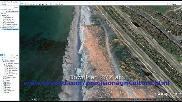
Santa Barbara Refugio Oil Spill in 3D Using Canon Camera
0 Views0 Comments0 Likes
Santa Barbara Refugio Beach Oil Spill, May 20-21, 2015. While flying precision agriculture grapes Sky Imaging Mapping Data diverted to Santa Barbara. On arrival the entire area was imaged from 12-1500 feet above the ocean. Post flight the imagery was processed into 3D models and overlaid on Google Earth for easy browsing (waves look jagged).

Trimble Discusses Mobile Device Evolution and Flexibility for Precision
0 Views0 Comments0 Likes
The V1 Video team interviewed Matt van Doorn, Product Manager in Trimble’s Geospatial Division, at the 2015 Esri User Conference in San Diego. We spoke about the rugged requirements of a professional device vs. a smartphone for field data collection. The market is good for both approaches, pairing a smartphone via a bluetooth device for high-precision collection.


