
Monthly Archives: August 2014

White House Innovation for Disaster Response and Recovery Demo Day
1.68K Views0 Comments0 Likes
The White House hosts an event bringing together technologists, entrepreneurs, and members of the disaster response community to showcase tools that will make a tangible impact in the lives of survivors of large-scale emergencies.
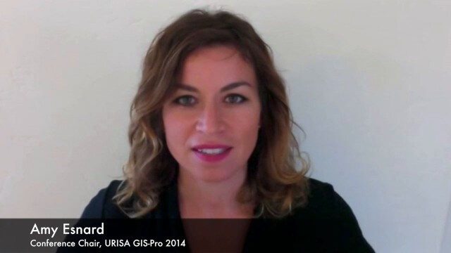
URISA Ready for Upcoming GIS-Pro Event in New Orleans
5.50K Views0 Comments0 Likes
Todd Danielson interviews Amy Esnard, Conference Chair for URISA's GIS-Pro event being held Sept. 8-11, 2014, in New Orleans. They discuss URISA's goals for the event, the benefits of hosting the event in New Orleans, the conference theme of "Community Resilience," and some expected program and social highlights.
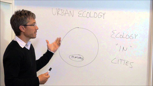
Urban Ecology
1.85K Views0 Comments0 Likes
An assistant professor at the New School in New York discusses and explains urban ecology.
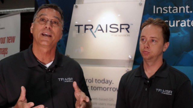
Traisr Makes Asset Management Simple, Safe and Secure
5.23K Views0 Comments0 Likes
Todd Danielson interviews John DePalma, Principal, and Brian Berdel, Chief Information Officer, McMahon Associates Inc., at the 2014 Esri User Conference in San Diego. They discuss the company's new product, Traisr, which integrates with multiple platforms to monitor fixed and mobile assets as well as deliver consumer Web portals.
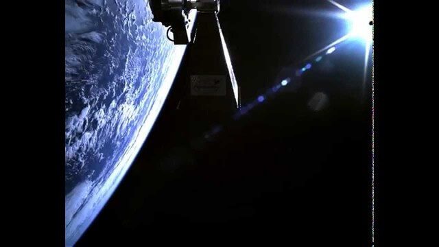
TechDemoSat-1 in Orbit Video
1.81K Views0 Comments0 Likes
Video taken in-orbit on 8 July 2014 using an inspection camera on-board the TechDemoSat-1 satellite starting about 30 seconds after separation from the launcher. At 6 seconds the Sun appears at the top of the frame as a very bright white flare, before the rotation of the satellite reveals a view of Earth below, of the Pacific Ocean south of French Polynesia.
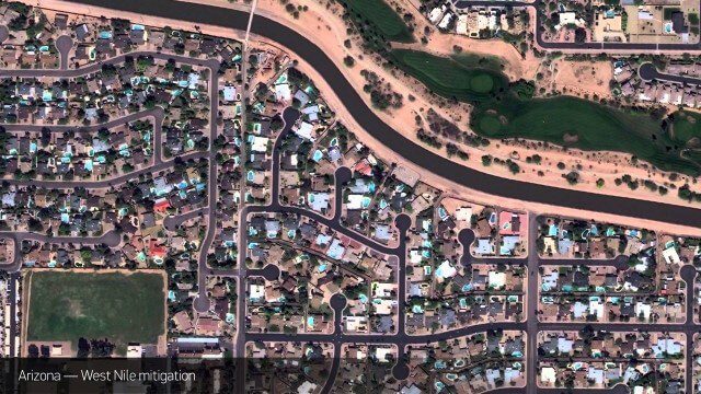
Satellite Imagery to Catch Environmental Changes
4.84K Views0 Comments0 Likes
How governments are using high-resolution satellite imagery to catch environmental issues before they become health hazards - and EPA fines.
LiDAR – Introduction to Light Detection and Ranging
2.67K Views0 Comments0 Likes
This video presents LiDAR of light detection and ranging, an active remote sensing system that uses laser energy, to measure the heights of objects like trees and buildings and even the ground. This video was developed by the National Ecological Observatory Network (www.neoninc.org).
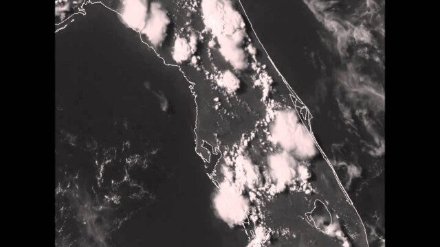
GOES-14 VIS Imagery over Florida
2.11K Views0 Comments0 Likes
Arctic Death Spiral and the Methane Time Bomb
1.69K Views0 Comments0 Likes
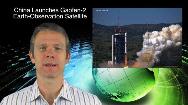
8_27 Asia-Pacific Broadcast (Infrastructure, Alibaba and More)
4.11K Views0 Comments0 Likes
This Asia-Pacific-focused GeoSpatial Stream broadcast discusses infrastructure topics such as new financing in India, water monitoring in China, and a Chinese offer to help upgrade U.S. transportation systems; an urban-renewal project in Melbourne; China's successful launch of the Gaofen-2 Earth-observation satellite; industry news from Alibaba, Google, Maestro Wireless Solutions and CSR; drones helping China recover from an earthquake; Japanese microsatellites; and more.


